
National Three Peaks Trail 3D Elevation Trail Maps
£50.00
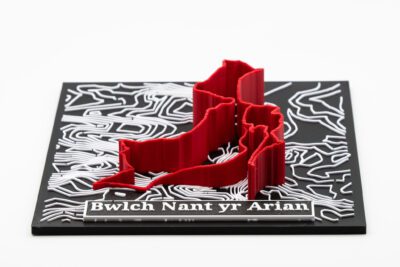
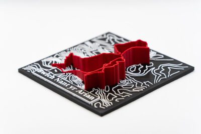
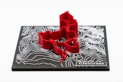
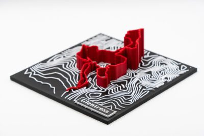
Completed the National Three Peaks? Want to commemorate your massive achievement in a stylish way? Then these 3 maps of Ben Nevis, Scafell Pike & Yr Wydffa (Snowdon) showing your exact route up along the contours and with an elevation profile is the perfect way to do that!
These 3D Printed maps contain accurate contours from the routes and an extruded height profile to convey all your adventures on the mountains! The maps are also orientated true north.
The maps are sized 175x175mm. This set offers a £10 discount over buying all three individually.
| Quantity | Discount | Discounted price |
| 2 - 3 | 10% | £45.00 |
| 3 - 100 | 15% | £38.25 |
Description
Completed the National Three Peaks? Want to commemorate your massive achievement in a stylish way? Then these 3 maps of Ben Nevis, Scafell Pike & Yr Wydffa (Snowdon) showing your exact route up along the contours and with an elevation profile is the perfect way to do that!
These 3D Printed maps contain accurate contours from the routes and an extruded height profile to convey all your adventures on the mountains! The maps are also orientated true north.
The maps are sized 175x175mm. This set offers a £10 discount over buying all three individually.
Additional information
| Weight | 0.2 kg |
|---|---|
| Dimensions | 175 × 175 × 30 cm |
Reviews
There are no reviews yet.